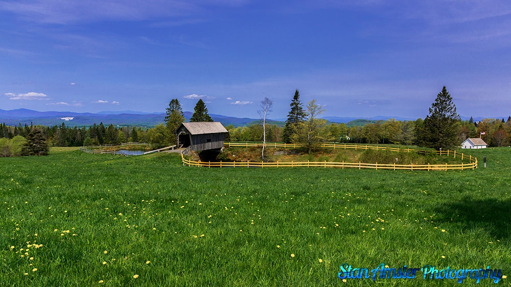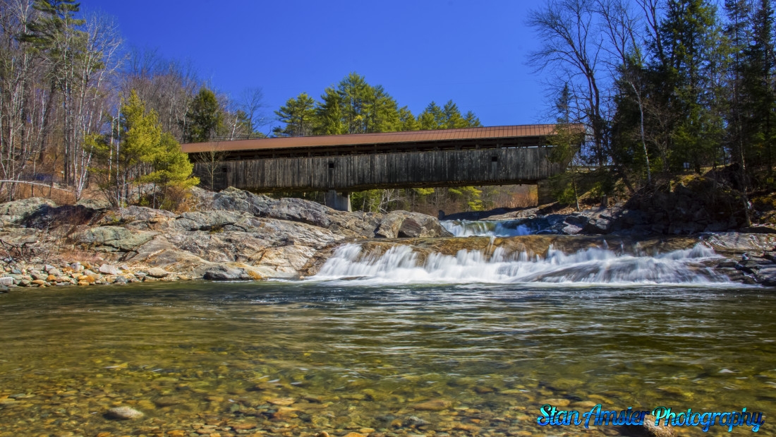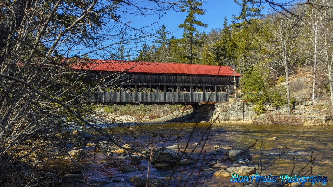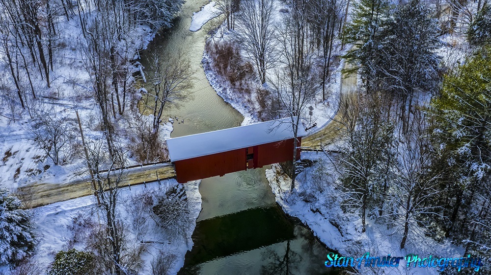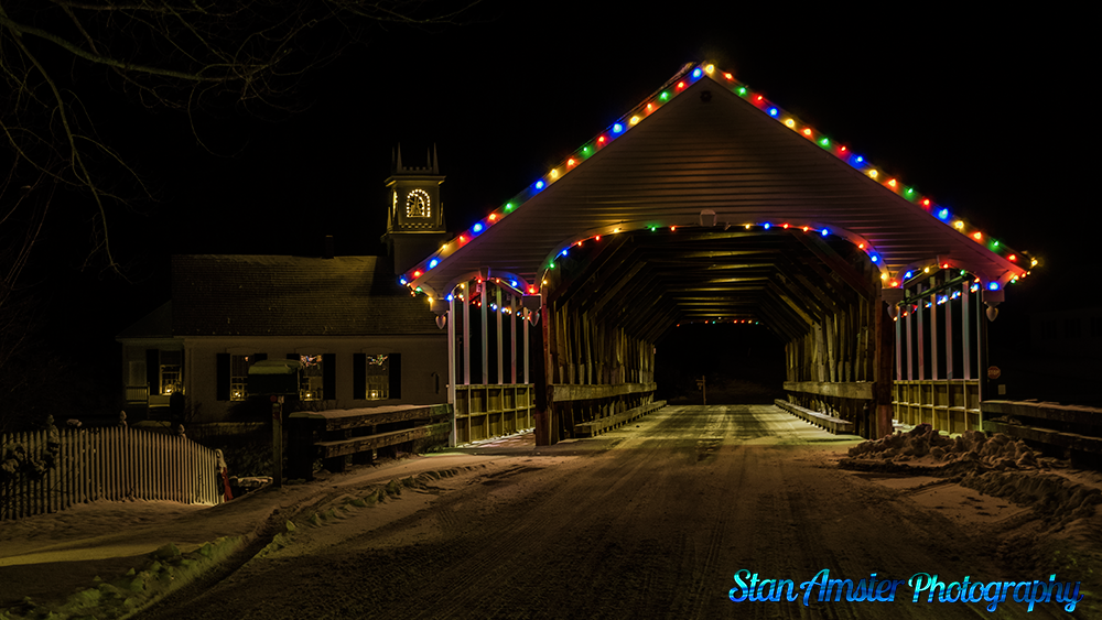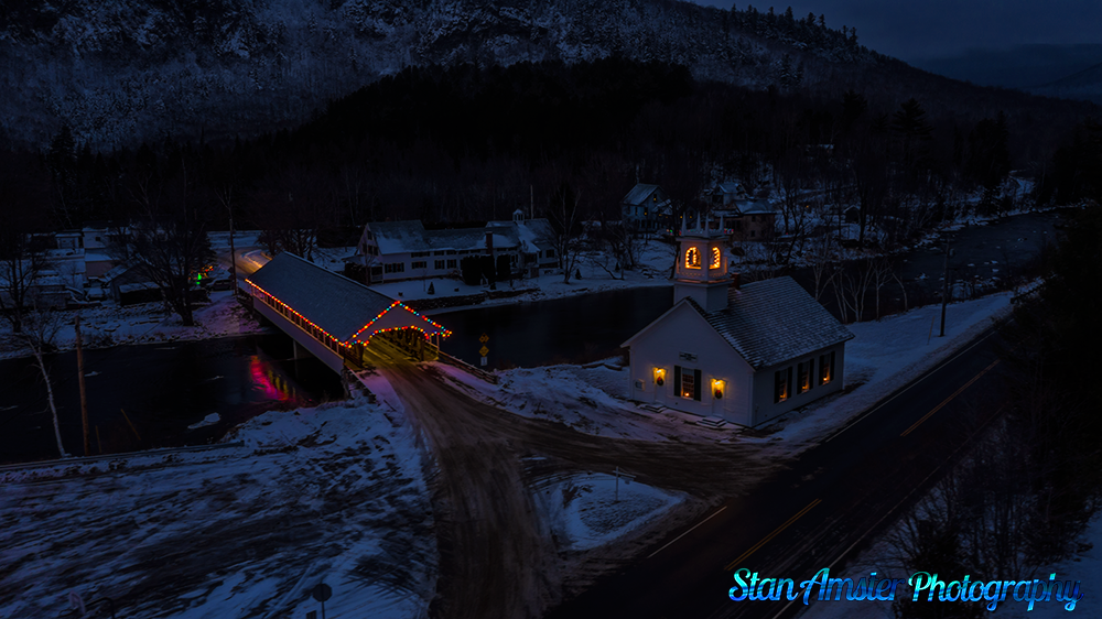
The Green River Covered Bridge in Guilford Vermont
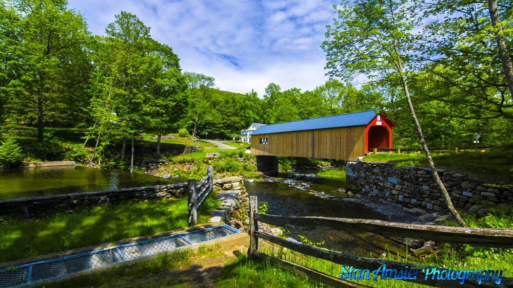
The Green River Covered Bridge is a covered bridge in western Guilford, Vermont. Built in the 1870s by Marcus Worden, it is a Town lattice truss bridge, carrying Green River Road over the eponymous river in a small rural village of the same name. It was listed on the National Register of Historic Places in 1973.
The Green River Covered Bridge in Guilford Vermont Read More »