A warm summer afternoon in Harrisville New Hampshire
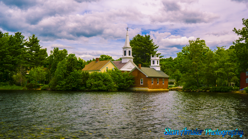
A warm summer afternoon in Harrisville New Hampshire Read More »
Stan Amster Photography – Scenic and Commercial Photography in Northern New England.

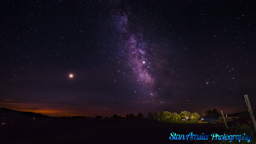
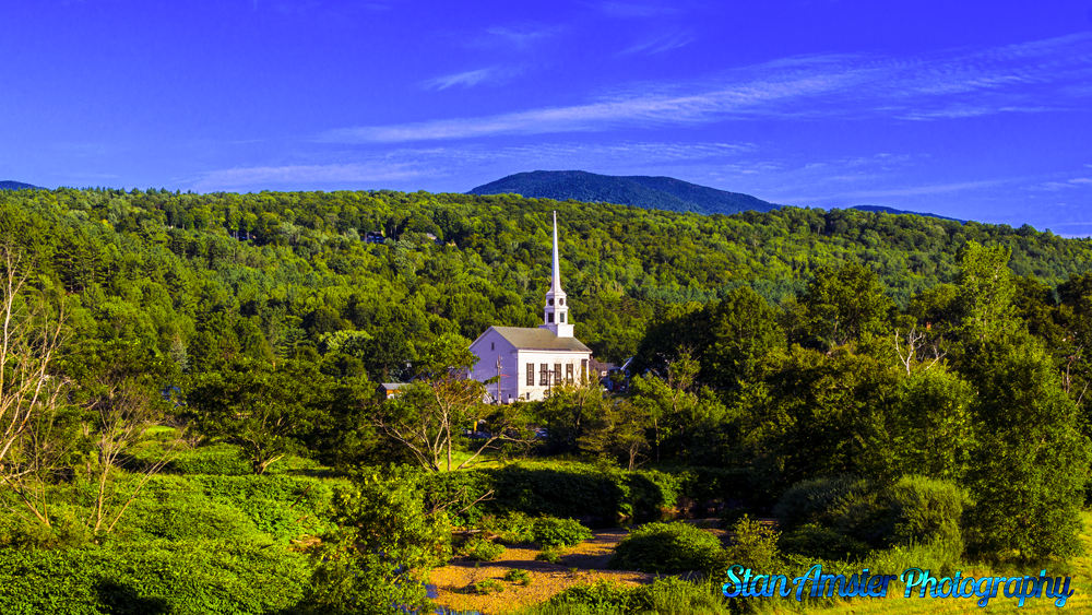
Taking pictures of the Milky Way is an adventure. You never know what you have until you get home.
#Vermont
#ilovermont
#photography
#travel
The Milky Way from Stowe. Read More »
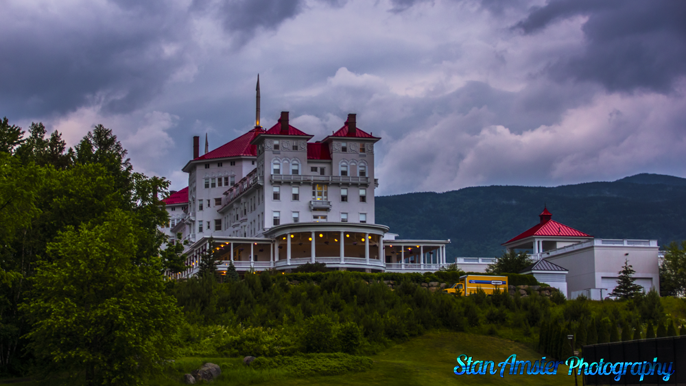
When I was driving by, I took notice that the clouds looked kinda stormy. I snapped a few pictures before the skies opened up.
A stormy afternoon at the Mount Washington Hotel Read More »
I will NEVER attempt to take this picture again. Scared was an understatement.
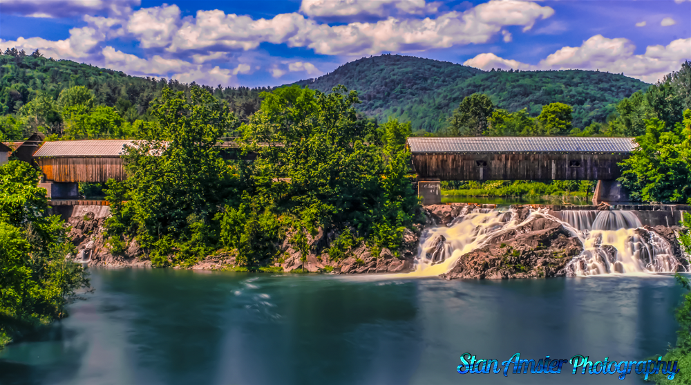
Willard “Old Bridge”
Originally built in 1870, the “Old Bridge” in the background was later renovated in 1953 and repaired in 1979. The bridge spans 128 feet and is sometimes referred to as the North Hartland East Covered Bridge. It was listed on the National Register of Historic Places in August, 1973.
Willard “New Bridge”
There were always two covered bridges at this location. The original second bridge (in the foreground) was built circa 1872, but was replaced in 1938 when the original was lost in the September hurricane of that same year. Many years later in 2001, when it began to deteriorate, the “New Bridge” was constructed and stands there still today. This bridge is also known as the North Hartland West Twin Covered Bridge.
Willard Twin Covered Bridges in Hartland Vermont Read More »
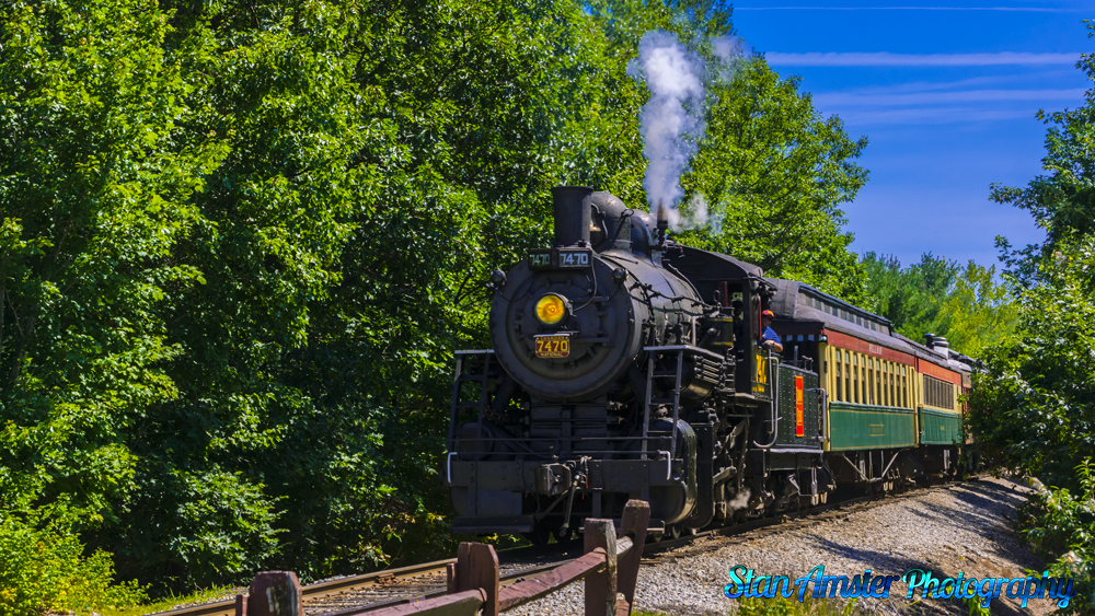
The Conway Scenic Railroad 7470 steams into North Conway New Hampshire on a hot summer day.
Steam locomotive #7470 was built by the Grand Trunk Railway Point St. Charles Shops at Montreal, Quebec, in 1921 with serial #22/1500. It is a coal fired switching locomotive with an 0-6-0 wheel arrangement; it has 51” driving wheels and 22” x 26” cylinders. It develops 36,700 lbs of tractive effort.
The weight of the locomotive in working order is 87 tons and the tender weighs 65 tons. The locomotive is equipped with super-heaters. Originally built as Grand Trunk Railway #1795, it soon became Canadian National Railway #7470, Class 0-18-a. It was acquired in 1968 by Dwight Smith, and in 1974 joined the start-up Conway Scenic Railroad as #47. It was renumbered to #7470 in 1989.
Conway Scenic Railroad 7470 steams into North Conway Station. Read More »
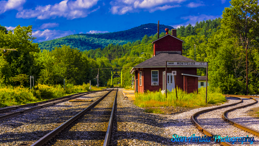
I thought I would get away from the house Saturday since it was a perfect day.
A picture perfect day in East Montpelier Vermont Read More »