Stan Amster Photography – Scenic and Commercial Photography in Northern New England.

Vermont

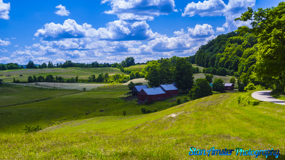
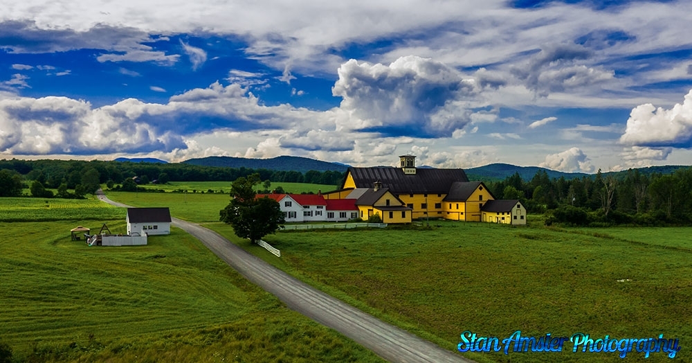
Picture perfect day in Peacham Vermont

Vermont-8-16-2014-13-2
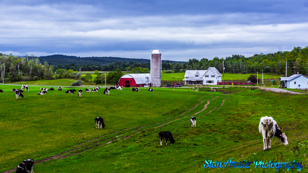
I thought I would get out on a picture perfect day and head over to Peacham and a few other places in the NEK. The weather was perfect.

In 1763, Governor Benning Wentworth of New Hampshire gave a charter for the region to a group of proprietors, and the town was given the name Peacham (the etymology of the name is unclear). The original proprietors were speculators who surveyed the town, laid a few rudimentary roads, and divided it into lots, though the territory remained unsettled for some time.


In 1775, settlers, primarily from Connecticut and Massachusetts, bought the lots and built homes, developing the land for agriculture. The original settlers survived almost entirely through subsistence farming despite the long winters, hilly terrain, and rocky soil. Nine years later, records show a population of approximately 200 people. The first recorded town meeting took place in 1784, and selectmen were duly elected to govern the affairs of the town. Peacham was early on presented with a choice of having either the county courthouse or the county school, and the residents voted for the school. In 1795 the Caledonia County Grammar School received its charter, and the first school was established in a log structure on the Bayley Hazen Road, halfway between Peacham Corner and South Peacham.


In 1799, a library was established, which traveled from store to store. A congregational church was founded in 1794 – the first pastor, Leonard Worcester, was well known for his fiery sermons. His son Samuel went on to be an important missionary to the Cherokee people, creating the first typeface for the Cherokee alphabet and gaining lasting fame as the plaintiff in the supreme court case Worcester v. Georgia.

Picture perfect day in Peacham Vermont Read More »

Spring at the Green River Crib Dam in the Hamlet of Green River Vermont.

Green-River-Covered-Bridge-5-27-2017-159
The Green River Crib Dam is a historic 19th-century dam on the Green River in western Guilford, Vermont. Built about 1811, it is a reminder of the modest industrial enterprises once conducted in the area using the water power it provided, and is one of the state’s few surviving crib dams. It was listed on the National Register of Historic Places in 1995.


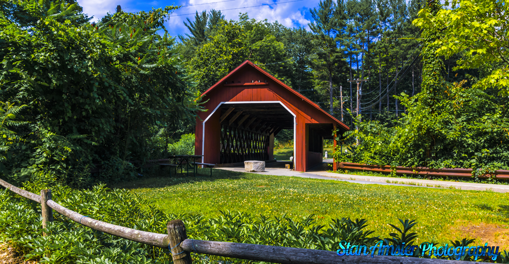
The dam is located in far western Guilford, upstream of the Green River Covered Bridge, which spans the Green River at the junction of Green River Road with Jacksonville Stage Road. The dam is about 110 feet (34 m) long, with a maximum height of 10.5 feet (3.2 m), and spans the river in a semicircle open to the downstream side. The material of the dam mostly logs and rubble, with plank facing. The abutments of the dam are now a combination of stone and concrete, the wing wall on the east side extending downstream toward the bridge, where it formed part of the foundation of a now-destroyed mill.


The earliest recorded documentation of a dam on this site dates to 1811, when Jonah Cutting is known to have a paper and linseed oil mill operating at the site. Some of the materials of the present dam may well date to this period. By 1856 the mill is only documented as being used for paper production. In 1869 a major flood apparently damaged the mill beyond repair, and it may also have damaged the dam; it washed out the bridge then standing just downstream. In 1871 Henry Stowe erected a lumber and grist mill on the site, which operated until 1918, when it was destroyed by fire. The dam has since then been maintained by private owners, forming a picturesque part of the small Green River village and a reminder of its modest industrial past.

Spring at the Green River Crib Dam in the Hamlet of Green River Vermont. Read More »