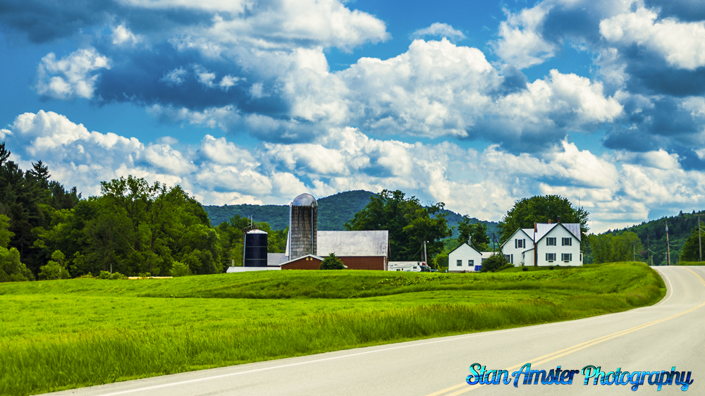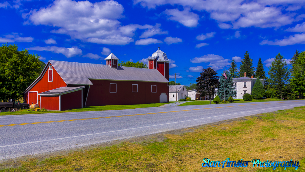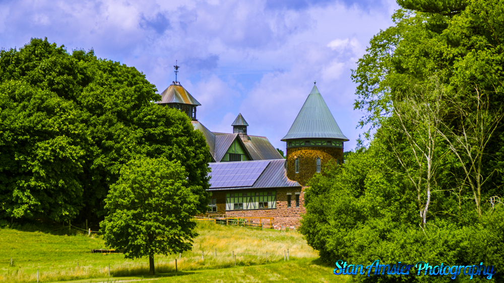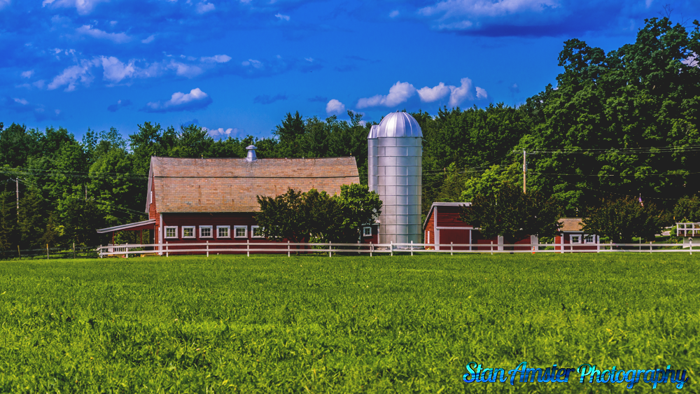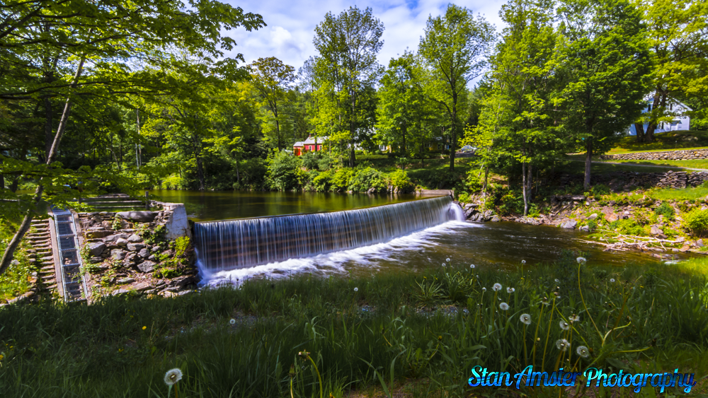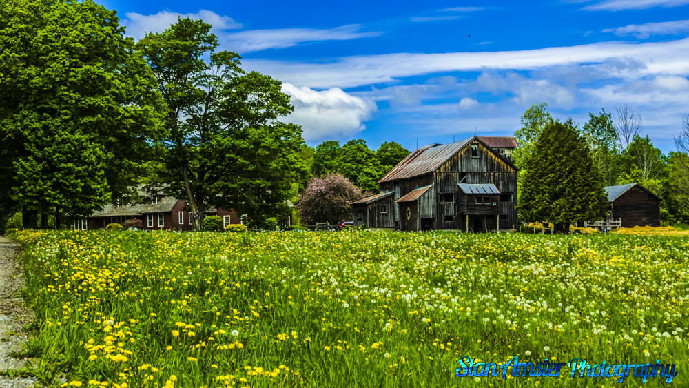
Picture perfect day in Peacham Vermont
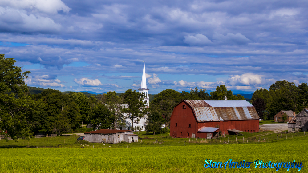
I thought I would get out on a picture perfect day and head over to Peacham and a few other places in the NEK. The weather was perfect.
In 1763, Governor Benning Wentworth of New Hampshire gave a charter for the region to a group of proprietors, and the town was given the name Peacham (the etymology of the name is unclear). The original proprietors were speculators who surveyed the town, laid a few rudimentary roads, and divided it into lots, though the territory remained unsettled for some time.
In 1775, settlers, primarily from Connecticut and Massachusetts, bought the lots and built homes, developing the land for agriculture. The original settlers survived almost entirely through subsistence farming despite the long winters, hilly terrain, and rocky soil. Nine years later, records show a population of approximately 200 people. The first recorded town meeting took place in 1784, and selectmen were duly elected to govern the affairs of the town. Peacham was early on presented with a choice of having either the county courthouse or the county school, and the residents voted for the school. In 1795 the Caledonia County Grammar School received its charter, and the first school was established in a log structure on the Bayley Hazen Road, halfway between Peacham Corner and South Peacham.
In 1799, a library was established, which traveled from store to store. A congregational church was founded in 1794 – the first pastor, Leonard Worcester, was well known for his fiery sermons. His son Samuel went on to be an important missionary to the Cherokee people, creating the first typeface for the Cherokee alphabet and gaining lasting fame as the plaintiff in the supreme court case Worcester v. Georgia.
Picture perfect day in Peacham Vermont Read More »