The iconic view of Lake Willoughby in Vermont
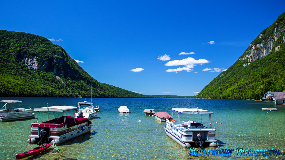
The iconic view of Lake Willoughby in Vermont Read More »
Stan Amster Photography – Scenic and Commercial Photography in Northern New England.

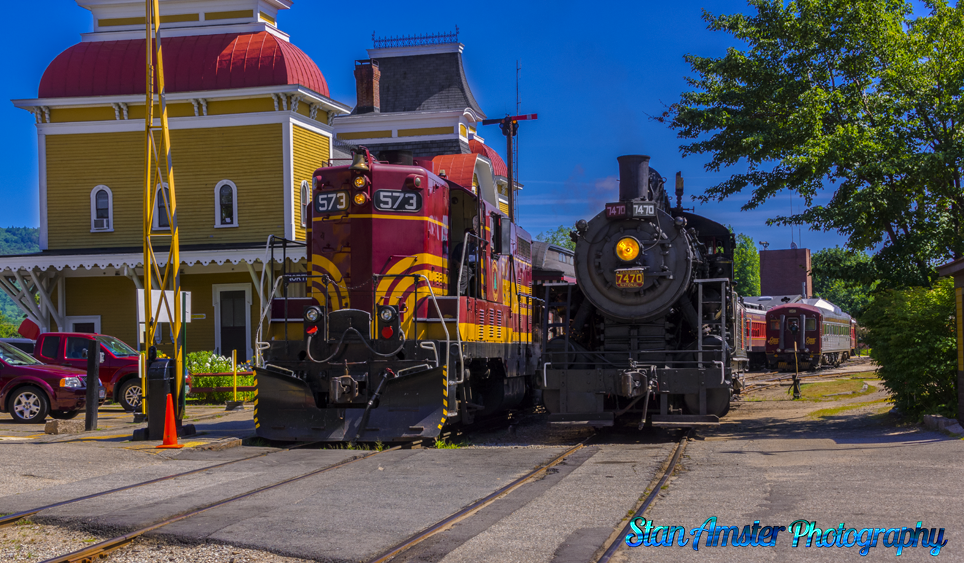
I love trains and this is my all time happy place.
Waiting for the next run at the Conway Scenic Railroad in North Conway New Hampshire Read More »